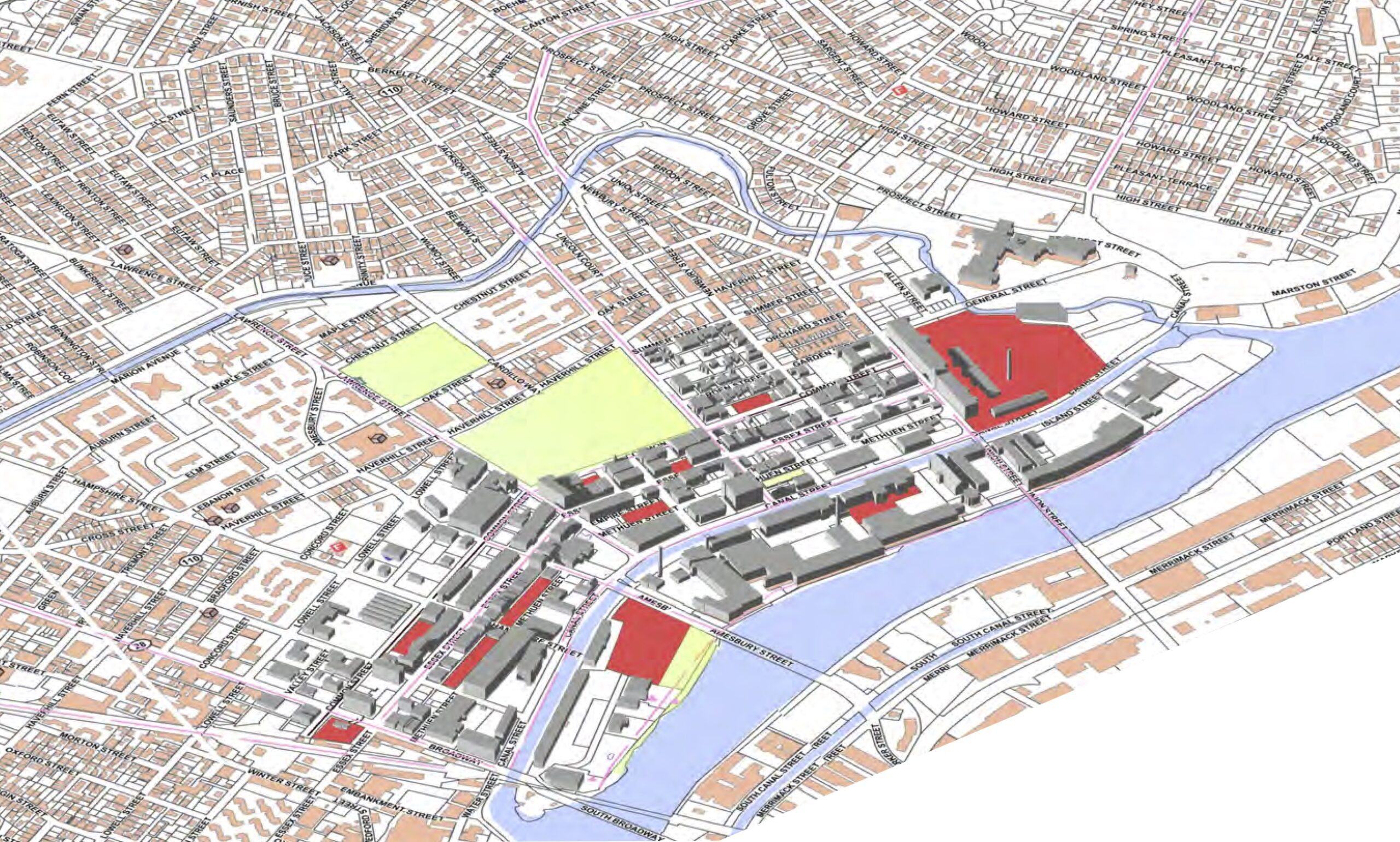
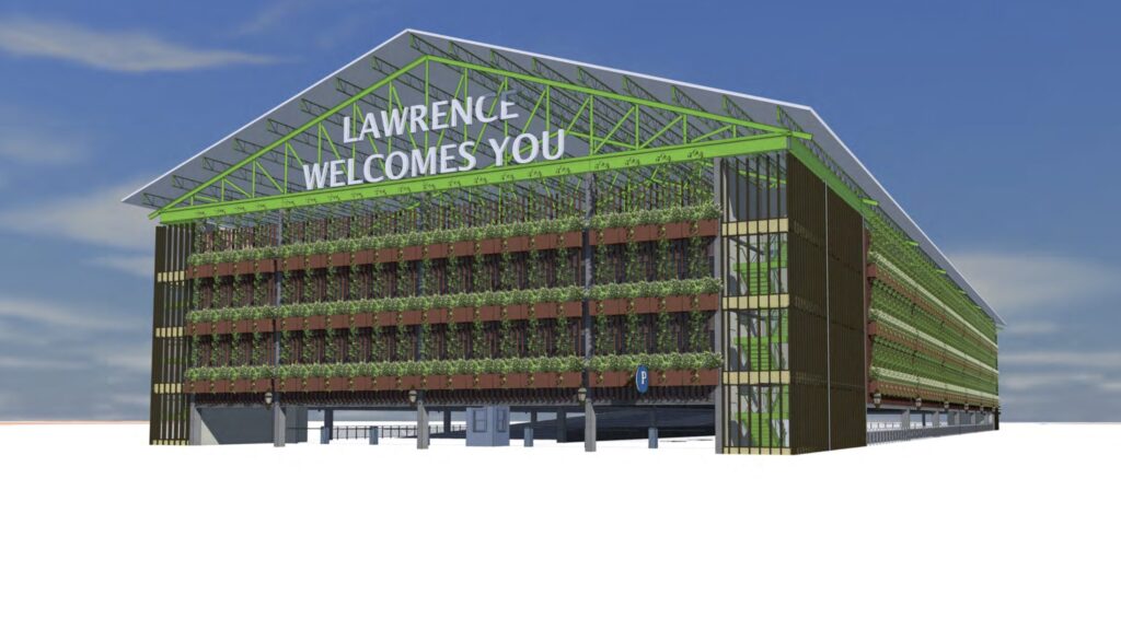
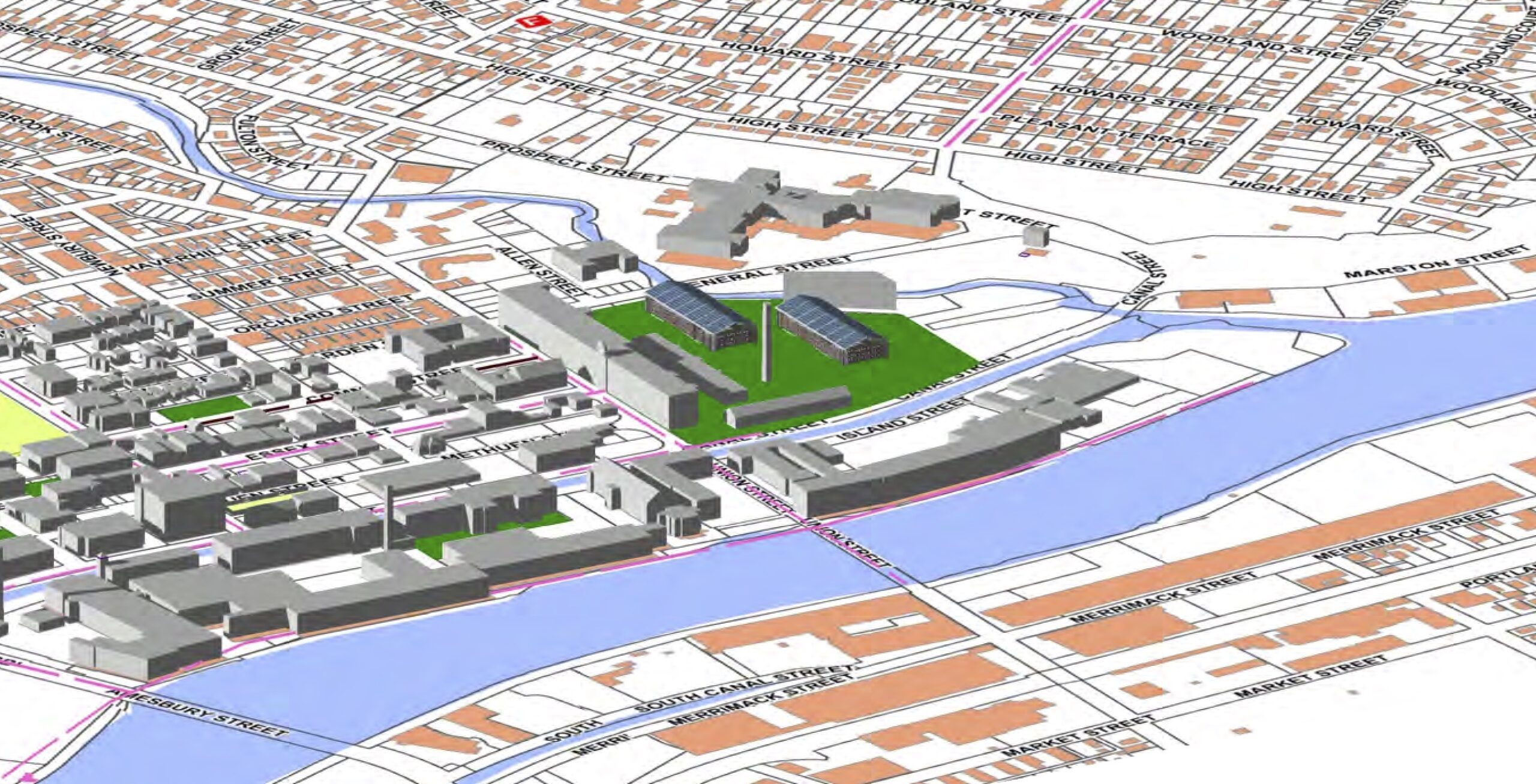
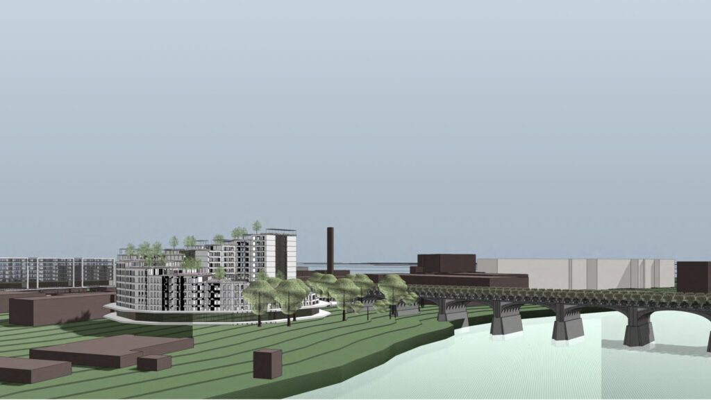
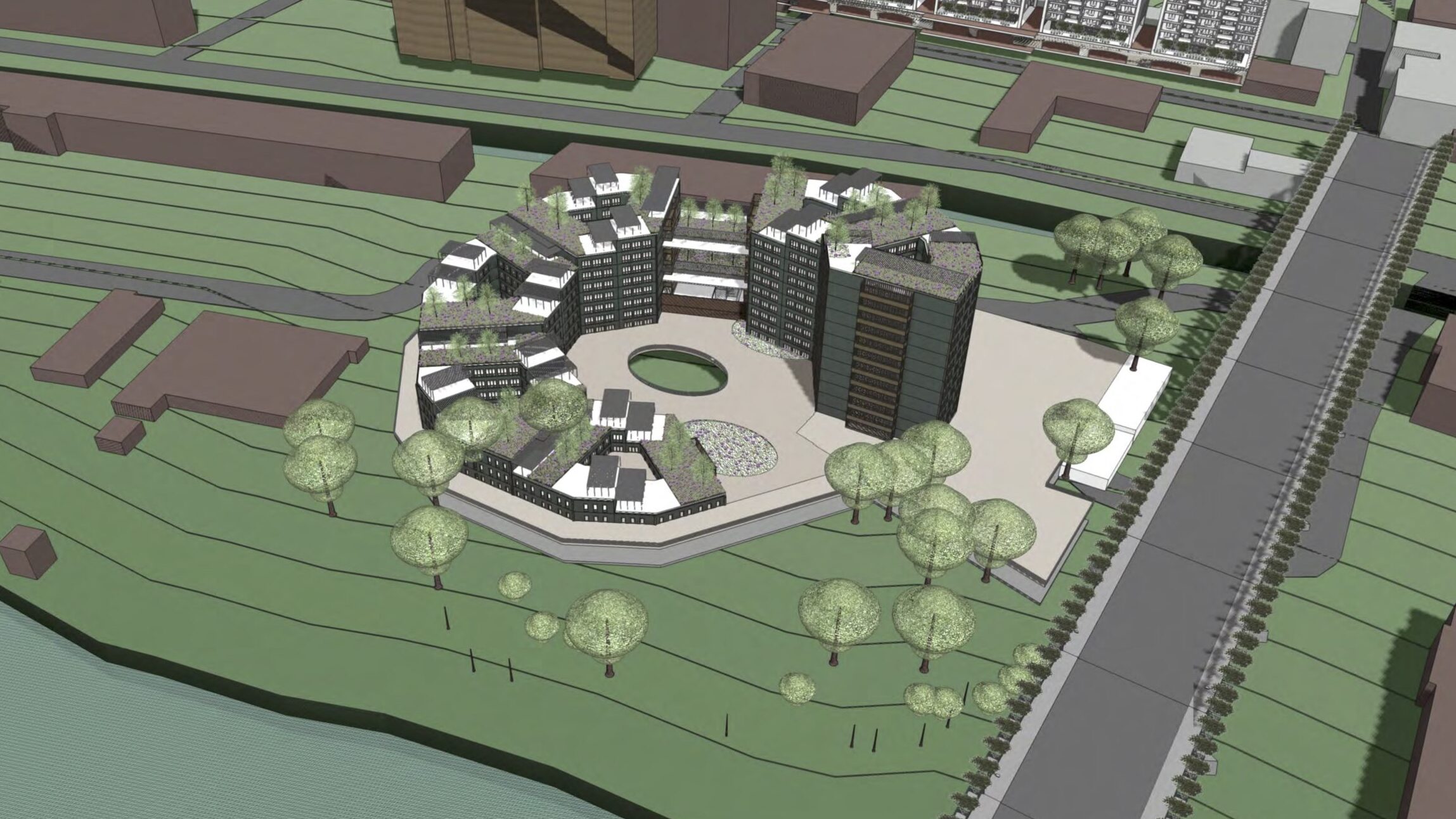
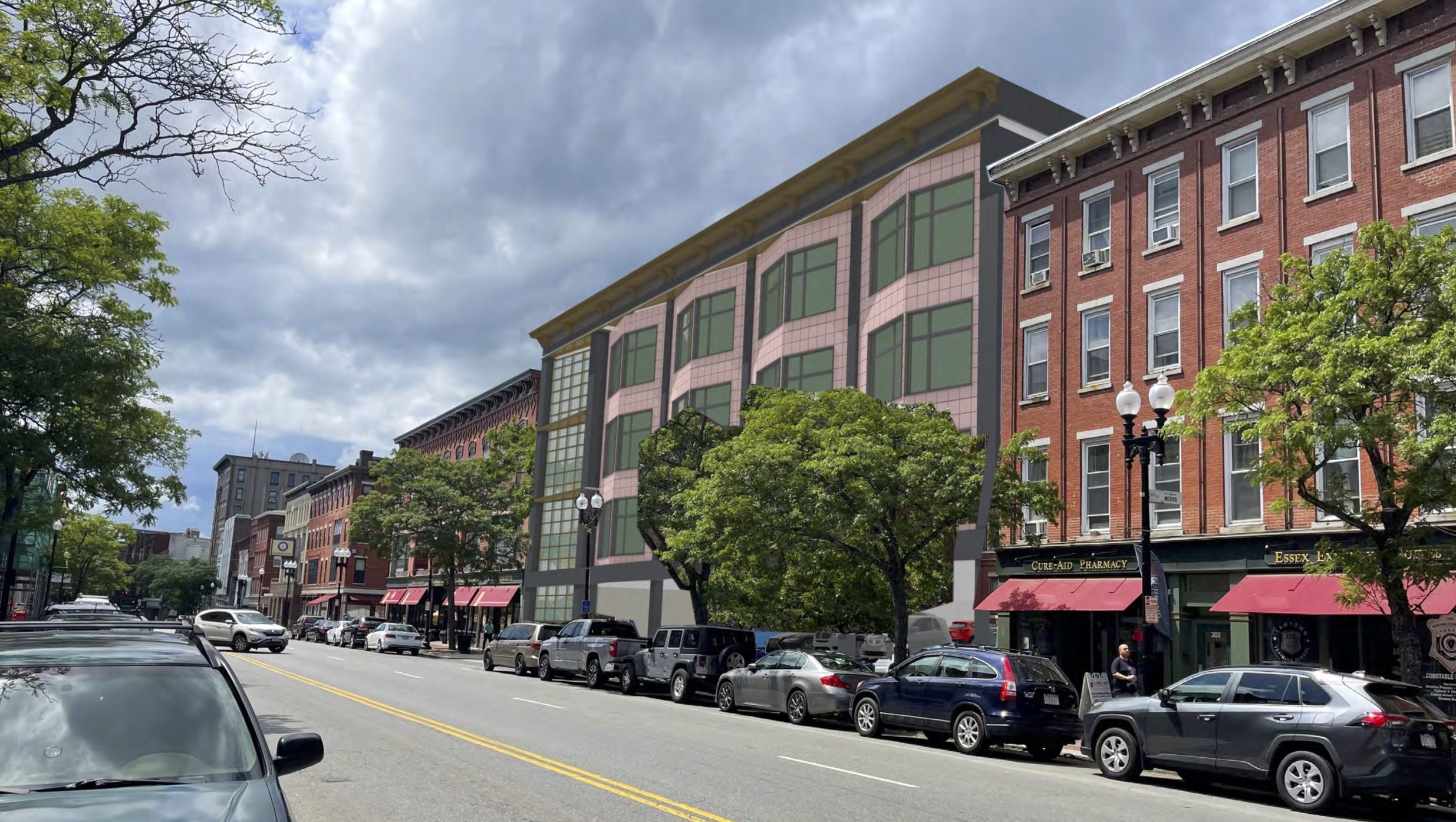
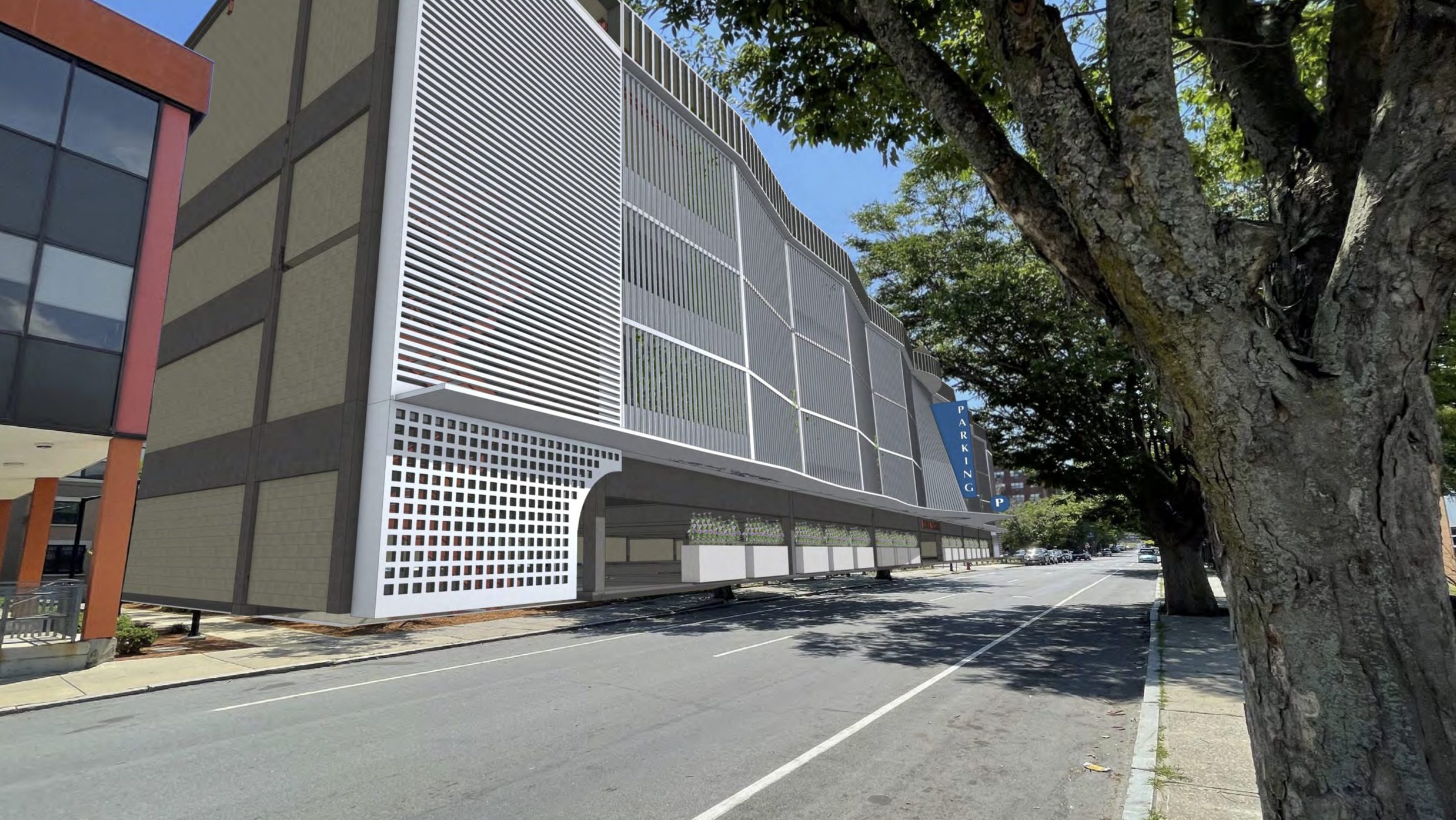
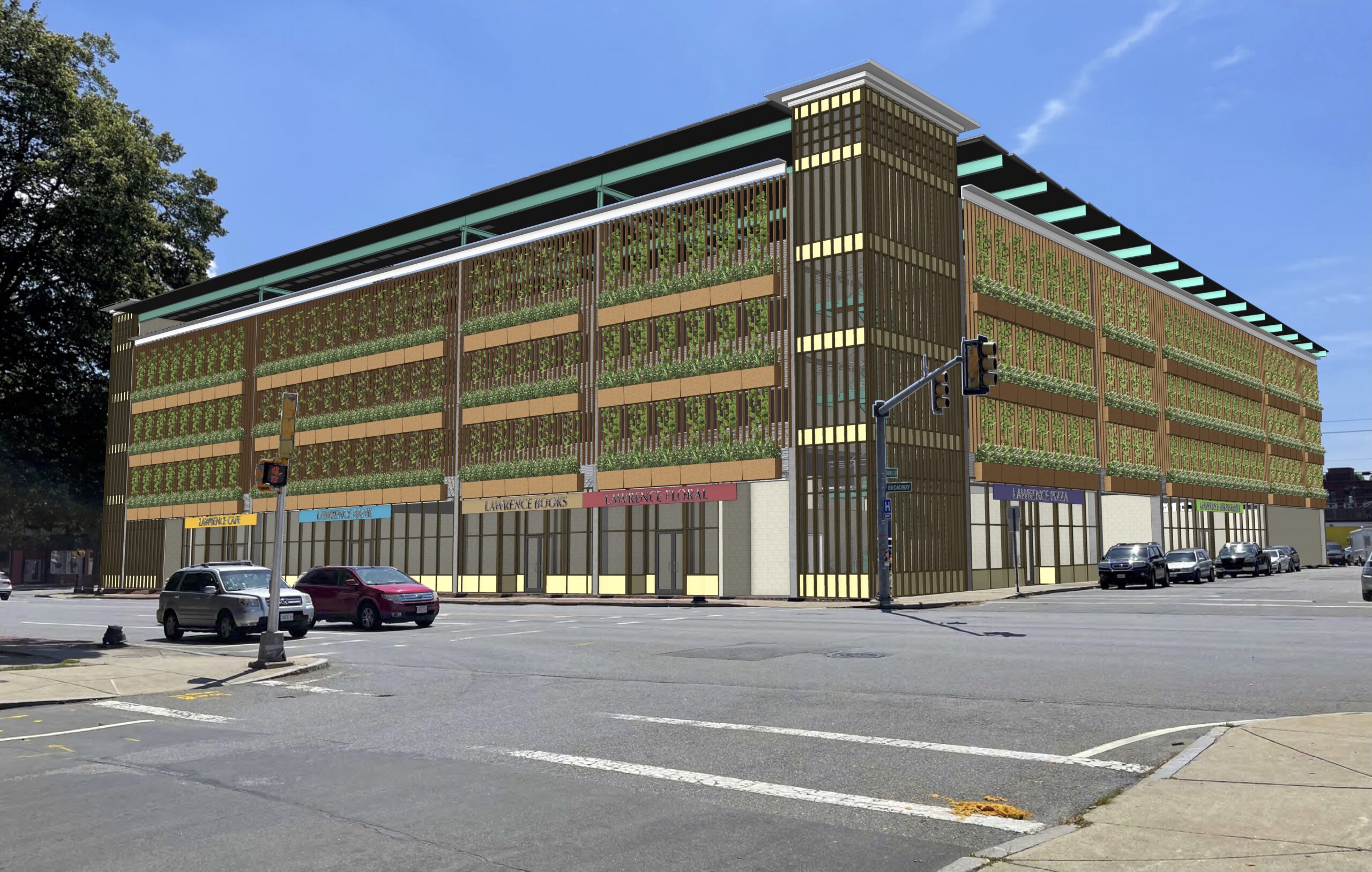
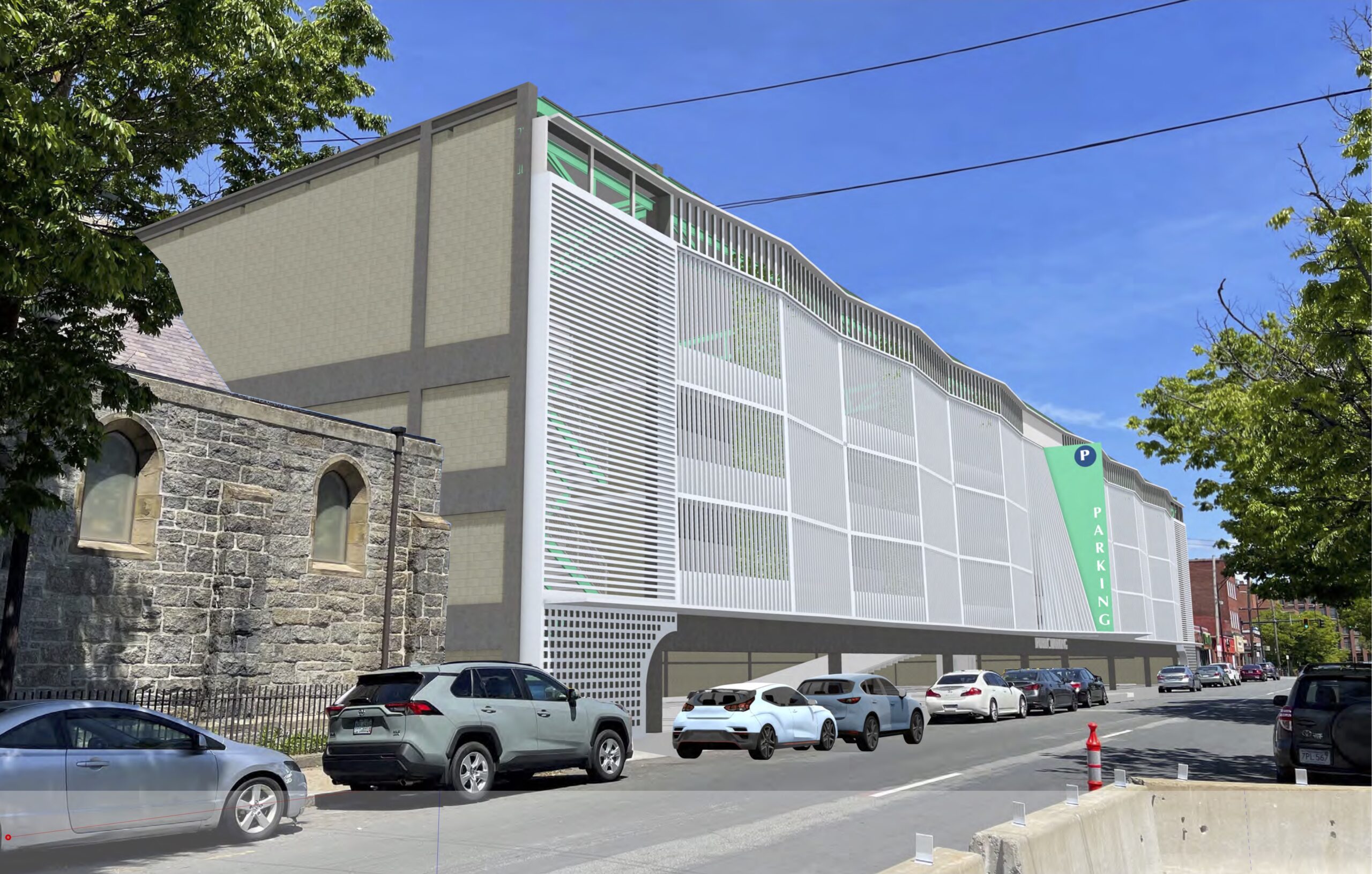
The City of Lawrence, Massachusetts, has engaged Neh•Koo•Dah to prepare this preliminary study for the proposed redevelopment of several under-utilized properties in Lawrence. This is done in the context of perceived shortage of parking spaces in the city center. Given the prominent location of each site and the impact that vehicular use facilities are likely to have on the future city growth, our approach was to examine each location in the context of its urban connections, and to understand how we can ease the urgent need for parking in the city, while enhancing its sustainability goals, and maintaining the city’s unique character.
The City of Lawrence, with its roots in the industrial revolution and the formation of the textile industry, has strong connections to its location on the banks of the Merrimack River. Its urban form was determined by the river being a source of inexpensive and clean energy, and a transport route. It’s location by the river made Lawrence an Industrial city, and a magnet for immigrants in search of economic opportunities throughout its history.
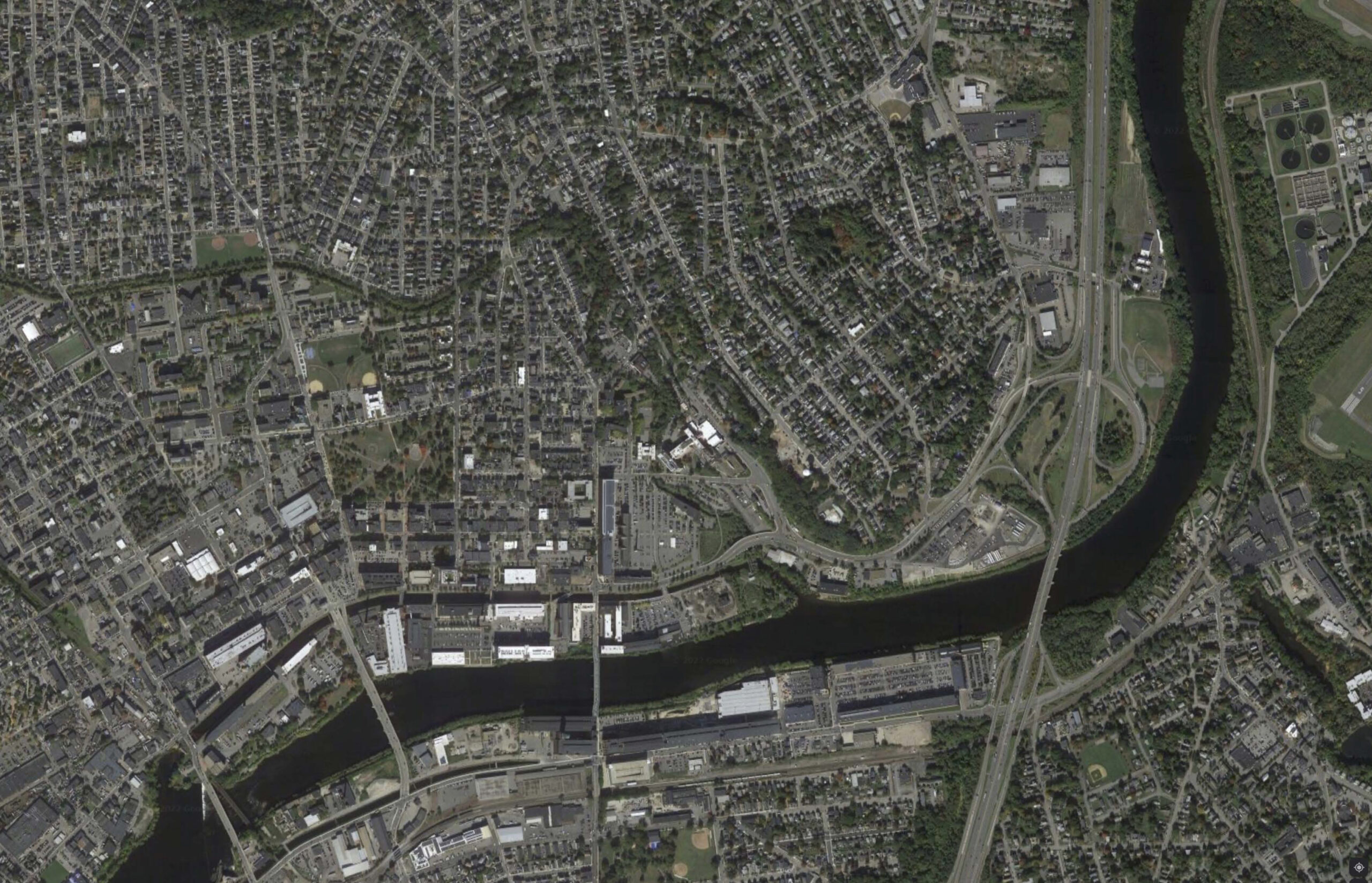
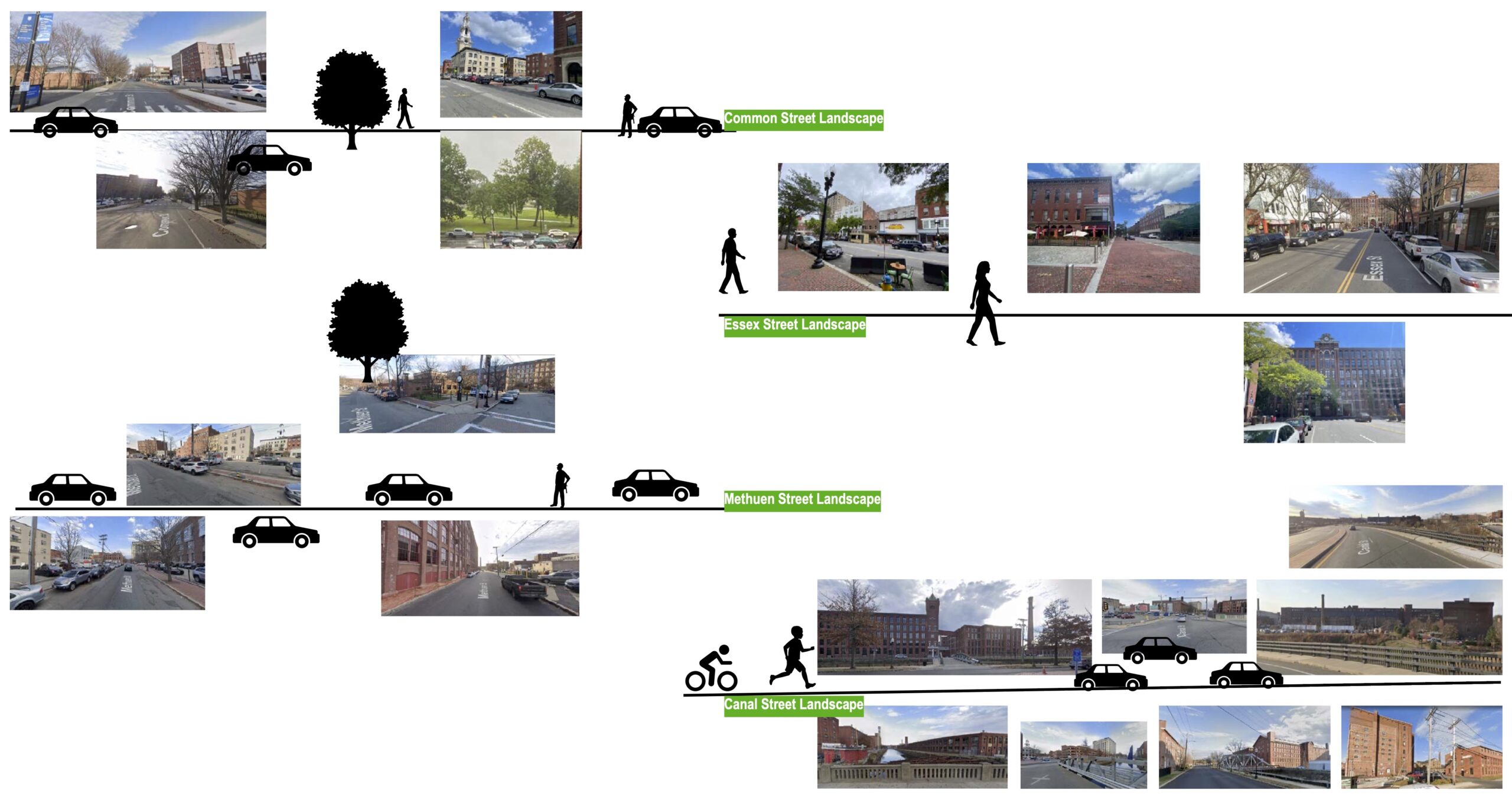
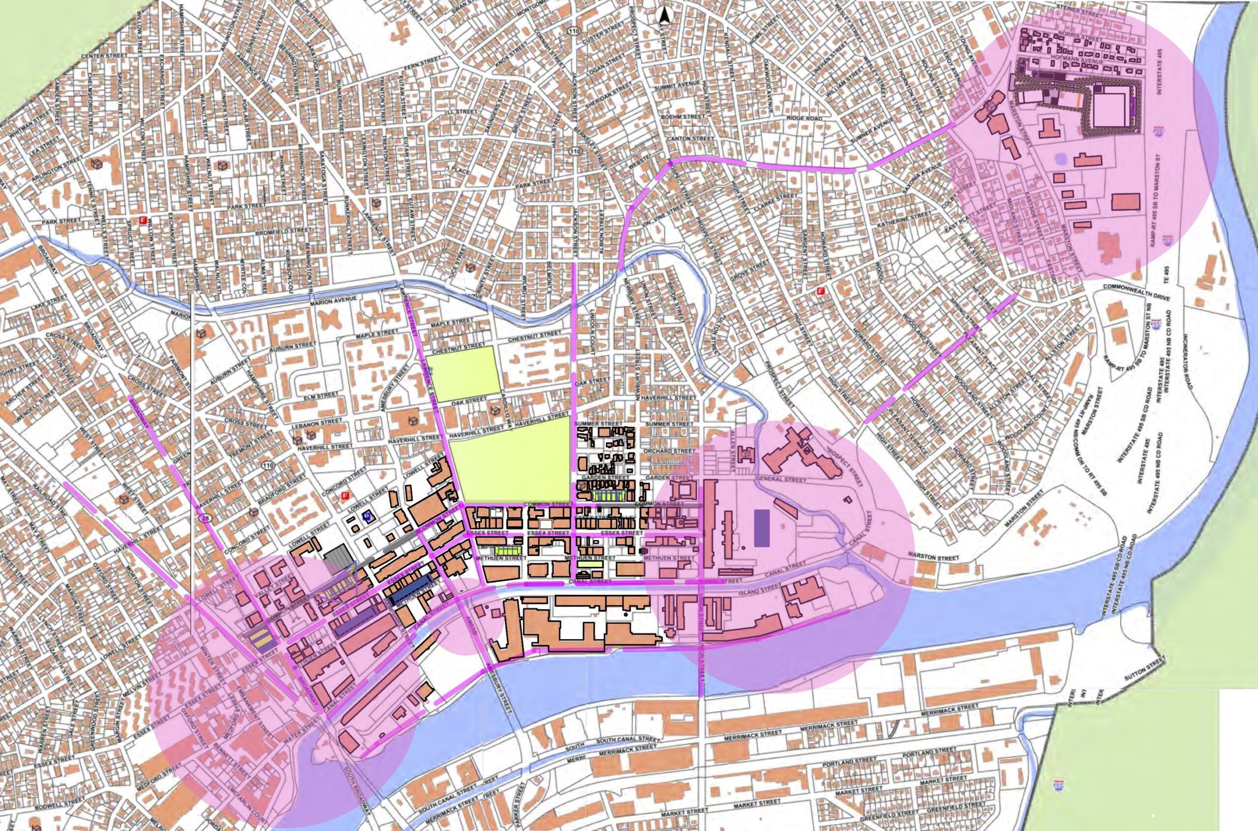
Boundaries: From a bird’s eye view, the city center is defined by a triangle formed by the Merrimack River (and the Canal), Spicket River to the North and Broadway Street on the West Side. The core of today’s business and entertainment activities revolves around Essex Street.
Natural resources: Lawrence has access to open spaces. The Public main green space is located at the center between the two rivers (O’Neill Park is farther to the north). Compagnon Park organizes civic and cultural institutions around it and acts as a traditional New England Town Green.
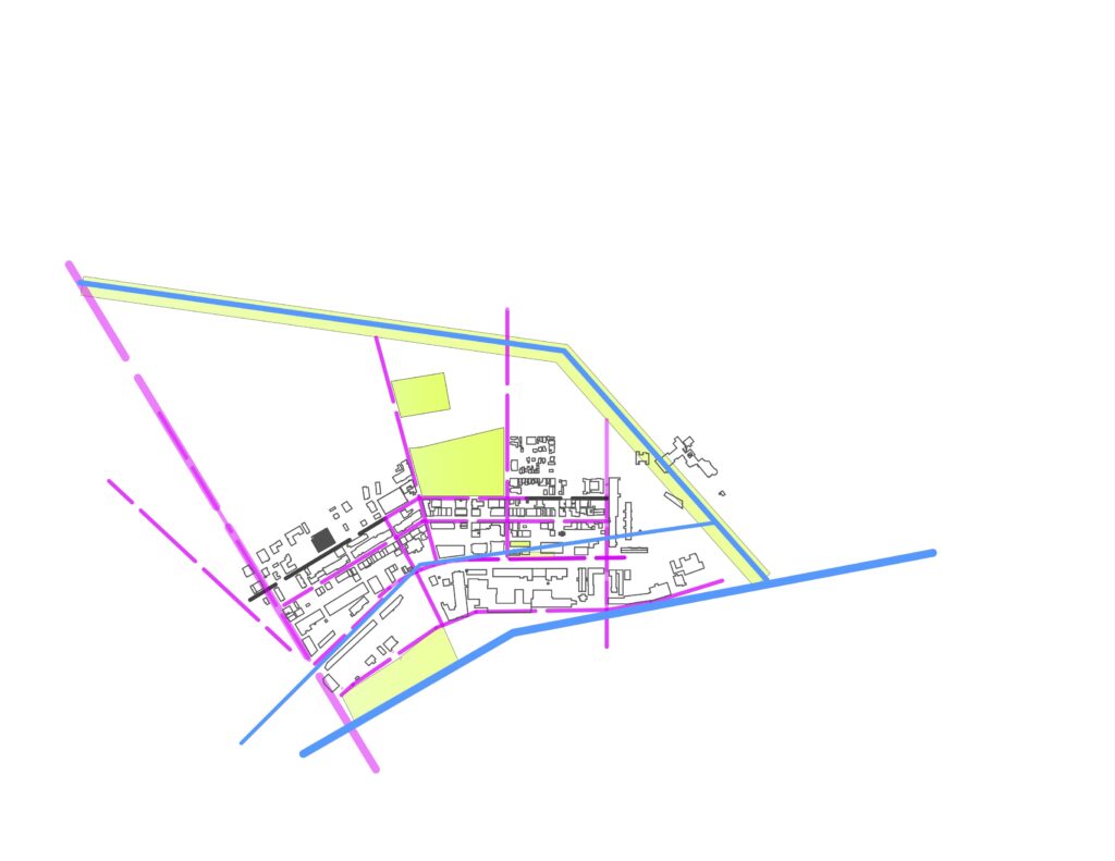
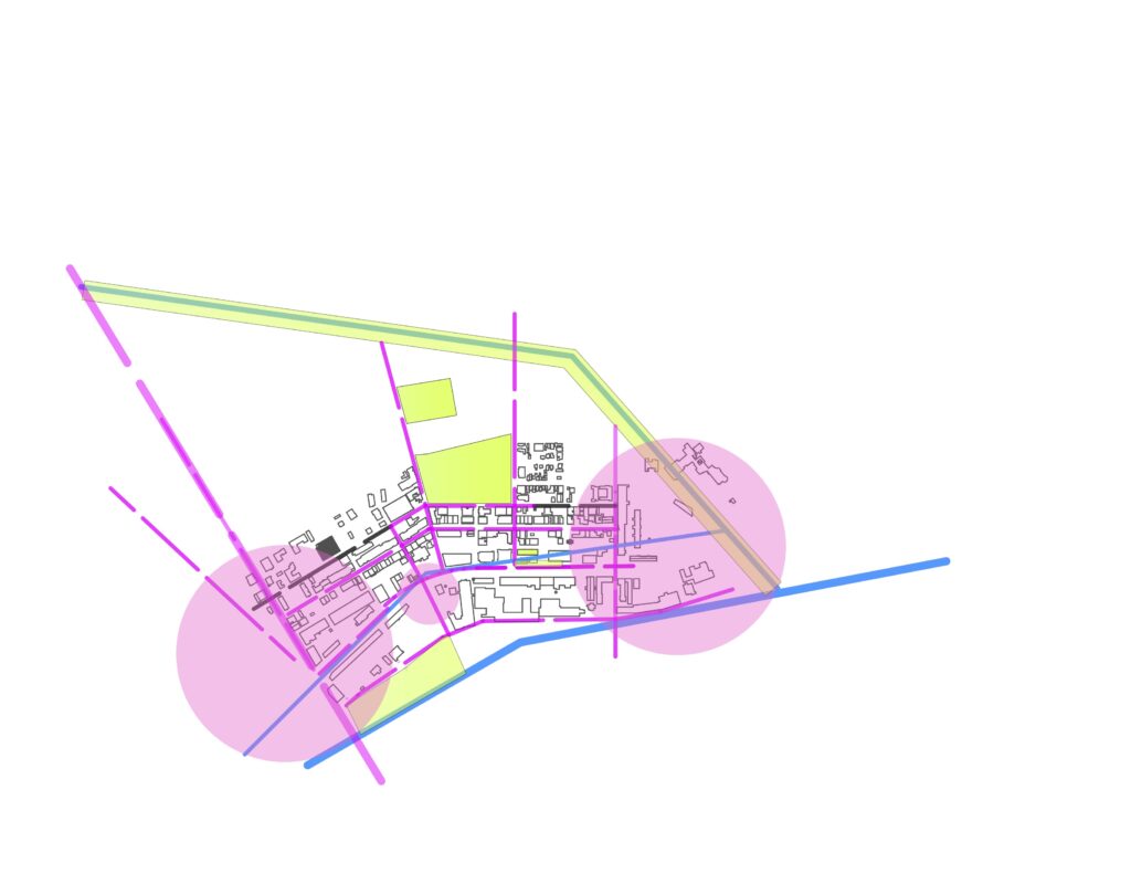
City Center with identified gateways for vehicular entries.
Gateways at edges strengthen ‘Canal Walk’ opportunities along Broadway Street on the west and through Marston Street to the east. Middle crossing at Amesbury Street separates the west end flow from center of activities.
Gateway access to public transportation and bike paths can alleviate the city traffic and parking issues.
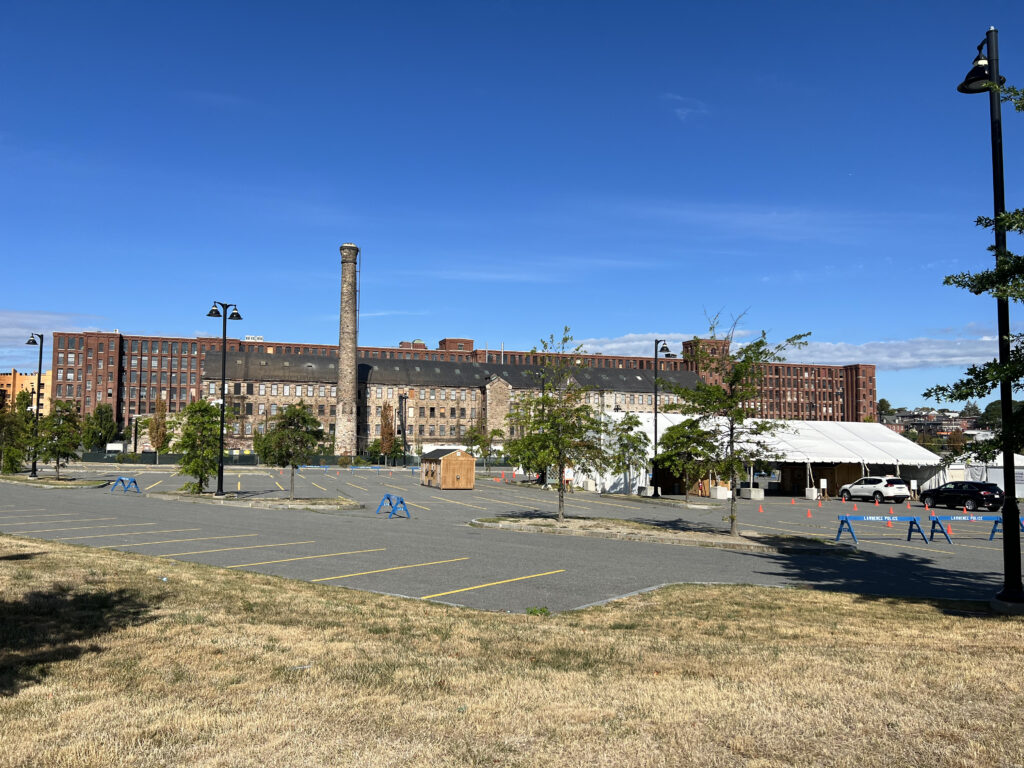
Separated from the City Center just by the Everette Mills building, and envisioned to serve as satellite parking for employees and visitors of the Cardiff Street future development, this site is spacious enough to accommodate two parking structures, with or without ground level commercial uses.
The 70 Canal Street site offers the possibility of construction multiple parking structure, if the financial rationale exists for it. The lack of significant site constraints can result in optimized layout, and the possibility of combining parking with other uses. Its location at the gateway to the city center within a walking distance from the civic and commercial center of the city, as well as the canal and riverfront.
Pemberton Park Mixed-Use Development
209 Essex Street Development
City-owned vacant lot, currently used for surface parking.
Post Office Parking Facility, Lawrence, MA
City-owned vacant lot, currently used for surface parking.
Broadway Parking Facility, Lawrence, MA
City-owned vacant lot, currently occupied by a drive-through McDonald’s
139 Common Street Parking Facility, Lawrence, MA
City-owned vacant lot, currently used for surface parking.

